LIHI Certificate #183 - North Twin Project, Maine
| Project Name | North Twin |
| LIHI Certificate No. | 183 |
| LIHI Certificate Term | May 27, 2021 – May 26, 2031 |
| Owner | Great Lakes Hydro America, LLC, a subsidiary of Brookfield Renewable Energy Group |
| State | Maine |
| Location | Located at river mile 14.97 on the West Branch of the Penobscot River in Millinocket, Penobscot County |
| Installed Capacity | 9.84 MW |
| Average Annual Generation | 51,541 MWh |
| Facility Type | Store/release |
| FERC No. | P-2458 issued in 1996, expires 10/01/2026 |
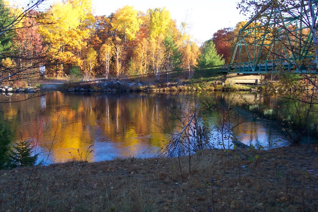
The North Twin Project is located on the West Branch of the Penobscot River approximately 14.9 river miles above the confluence with the East Branch, and approximately 2.6 miles upstream of Quakish Lake, near Millinocket, Maine. The project is part of the Penobscot Mills Hydroelectric Project (PMHP).
The PMHP consists of four hydroelectric developments and a storage dam located between river mile (RM) 2.0 and RM 15.0 on the West Branch of the Penobscot River near Millinocket and East Millinocket, Maine. From upstream to downstream these hydropower developments are the Millinocket Lake storage reservoir, North Twin, Millinocket and Dolby (LIHI #167), and East Millinocket. These hydropower developments were originally constructed to meet the mechanical demands of the Millinocket paper mill, constructed in 1900, and the East Millinocket Mill Dam, constructed in 1906.
The Penobscot River is 264 miles long, making it the longest river system in Maine. The river drains nearly one-third of the State of Maine with a watershed area of 8,670 square miles. The basin has a low human population density, is largely forested, and contains many large lakes and multiple tributaries.
The North Twin dam is a concrete and earth-filled structure located at the outlet of the impoundment, known as Elbow Lake. The powerhouse and concrete sections of the dam are located between a 500-foot-long southern dike and a 286-foot-long northern dike. The impoundment is comprised of five separate basins – Elbow, South Twin, North Twin, Pemadumcook and Ambajejus lakes (collectively referred to as the Pemadumcook Chain of Lakes). The impoundment is approximately 11.8 miles in length and has a surface area of approximately 17,790 acres. The dam measures approximately 1,051 feet in length, and includes:
- A 117-foot-long Tainter gate section comprised of two steel Tainter gates and associated piers. Each gate is approximately 50 feet wide and 27.3 feet high.
- A 34-foot-wide concrete section, containing a weir fishway and two gated log sluice sections, located on the opposite end of the powerhouse from the southern earthen dike. Three gates located upstream of the fishway control the flow of water into the chambers of the fishway. Each gate measures 1.4 feet wide by 2 feet high. The gates are located at different depths so the fishway can remain operable at different impoundment water levels. The chambers of the fishway extend downstream of the gate approximately 98 feet along the northeastern side of the powerhouse. There is an 8-inch-diameter gravity pipe which provides attraction flows to the fishway. The pipe extends from an area near the log sluices to the fishway entrances. The pipe intake has a slide gate control with an upstream removable basket trashrack. The pipe bifurcates at its discharge to attract fish to each fishway entrance.
- An intake structure measuring 37 feet by 114 feet with nine gate openings. Each gate is 8 feet wide by 13 feet high containing trashracks constructed of 3/8-inch bar steel with a 2-5/8-inch clear opening between the bars.
- A powerhouse containing three generating units. Units 1 and 2 are vertical Francis turbine/generators each with a maximum hydraulic capacity of 1,350 cfs and an installed capacity of 3.2 MW. Unit 3 is a vertical Kaplan turbine/generator with a maximum hydraulic capacity of 1,800 cfs and an installed capacity of 3.44 MW. Water exits the powerhouse through six tailrace bays, each of which are approximately 14 feet wide. A concrete retaining wall extends approximately 28 feet downstream of the powerhouse and protects the downstream side of the southeastern earthen dike. The tailrace is approximately 104 feet wide and conveys the water from the powerhouse back to the river.
- Six earthen dikes having a combined length of 2,530 feet, located upstream of the dam. Five dikes, with a combined length of 1,850 feet, are located along the eastern shore of the impoundment near the dam. All of the dikes have a crest elevation between 497.6 feet and 498.1 feet and a minimum top width of 10 feet. The dikes are earth fill structures with sheet pile located within the fill. The sixth earthen dike, measuring approximately 680 feet in length, is located approximately 11 RMs upstream of the dam between the North Twin impoundment (at Ambajejus Lake) and Millinocket Lake.
The project operates on an annual storage basis, typically utilizing spring runoff to replenish the impoundment. Water is withdrawn at a controlled rate from the storage impoundments during the entire year to meet the requirements of the project’s Water Use Plan (WUP), to provide maximum sustained base load energy in accordance with a rule curve, and to provide storage capacity (flood control) for the next spring, all within the constraints of the WUP. The project maintains relatively stable water levels in the North Twin impoundment from May 1 through August 22, unless the project is unable to maintain the 2,000 cfs minimum flow at Millinocket. A 3,000 cfs minimum flow is provided from August 22 to October 15, so long as the impoundment water level is high enough. A 2,000 cfs minimum flow is provided in the West Branch at Millinocket and a minimum flow into Millinocket Stream, as long as water remains in upstream storage. A minimum flow of 60 cfs into Millinocket Stream regardless of inflow is required from May 1 to October 15. The remainder of the year, the minimum flow is 60 cfs or inflow if less. This flow regime was developed in consultation with US Fish and Wildlife Service (USFWS), Maine Department of Inland Fisheries and Wildlife (MDIFW), and Maine Department of Environmental Protection (MDEP).
Waters within the project reach are designated as Great Pond A (GPA) waters defined as “any inland bodies of water which in a natural state have a surface area in excess of 10 acres and any inland bodies of water artificially formed or increased which have a surface area in excess of 30 acres.” These waters are suitable for designated uses of drinking water after disinfection, recreation in and on the water, fishing, agriculture, industrial process and cooling water supply, hydroelectric power generation, navigation, and as habitat for fish and other aquatic life. Downstream of the project, waters are designated Class B, suitable for drinking water supply after treatment, fishing, recreation in and on the water, industrial process and cooling water supply and hydroelectric power generation.
Historically, the West Branch of the Penobscot River is within Atlantic salmon habitat range. However, no anadromous fish species currently exist in the river. The upstream fishway at the dam serves resident fish species only. The fishway was incorporated into the dam in 1934, was repaired in 1984, and was modified in 1998 to address dewatering of the fishway exit at low impoundment elevations, excessive turbulence within the pools, and to increase attraction water. The upstream fishway is primarily in place to allow fish that have passed downstream over the dam to move back upstream into the impoundment. The fishway consists of a pool and weir design with 1.75-foot slots. The conveyance flow for the fishway is 7 cfs, with approximately 2 cfs through the orifices and 5 cfs over the weirs. A supplemental attraction flow of 3.5 cfs is provided through an 8-inch-diameter gravity pipe. Resident species include brook trout, smallmouth bass, various species of suckers, shiners and sunfish, fallfish, eastern blacknose dace, creek chub, slimy sculpin, burbot, and landlocked salmon.
The project lands consist of roughly 2,700 acres. A Shoreline Management Plan (SMP) governs the uses of project-owned lands and provides stewardship provisions including a 200-foot building setback restriction and a 100-foot vegetative buffer restriction. The SMP also provides for appropriate public access to the impoundments for recreation. It also describes how lands are managed to provide for the continued effective management of the renewable forest and water resources on associated lands while recognizing and protecting the recreational and other natural resource values on those lands. Lands surrounding the project are mostly forested with some agricultural uses.
Threatened or endangered species potentially present in the project vicinity include the Canada lynx, Northern long-eared bat, little brown bat, Eastern small-footed bat, big brown bat, red bat, hoary bat, silver-haired bat, tri-colored bat, bigmouth pond snail, tidewater mucket, yellow lamp mussel, and wood turtle. Routine operations are not anticipated to affect terrestrial species such as bats and Canada lynx. There may be periodic vegetation clearing for dam safety, access, and other purposes, but these would be conducted in accordance with the USFWS Section 4(d) rule concerning Northern long-eared bat protection.
A cultural resources management plan encompassing the developments of the PMHP has been implemented to protect and provide stewardship provisions for the cultural and historic resources in the project reach. Only one such site is found in the North Twin development area.
Recreational resources at the project include three boat launches, fishing access, and day-use/camping accessibility. Public access is provided free of charge.
Compliance Status
The Certificate includes the following facility-specific condition:
Condition 1: The facility Owner shall provide updates to LIHI in annual compliance statements on the ongoing status of FERC relicensing, including studies, FERC filings, resource agency consultation, prescriptions and recommendations, and agency comments on study results. LIHI reserves the right to modify the Certificate or conditions based on the outcome of the relicensing.
2026: No material changes or compliance issues were identified. The project remains in compliance based on the annual review. For Condition 1, the project reported on relicensing activity with FERC’s Ready for Environmental Analysis (REA) expected soon.
2025: No material changes or compliance issues were identified. The project remains in compliance based on the annual review. For Condition 1, the project reported filing the final relicensing application on September 30, 2024.
2024: No material changes or compliance issues were identified. The project remains in compliance based on the annual review. For Condition 1, the project reported filing the Updated Study report on April 22, 2024 and the meeting summary on May 22, 2023.
2023: No material changes or compliance issues were identified. The project remains in compliance based on the annual review. For Condition 1, the project reported filing the Initial Study report on April 24, 2023 and the meeting summary on May 31, 2024. The project filed a draft license application on May 3, 2024 with the final application expected to be filed by September 30, 2024.
2022: No material changes or compliance issues were identified. The project remains in compliance based on the annual review. For Condition 1, the project reported filing the Revised Study Plan and FERC’s issuance of the Study Plan determination. First years studies are occurring in 2022.
2021: Annual reporting for the current Certificate has not yet taken effect.
Certification History
January 1, 2022: The LIHI Certificate term has been extended in accordance with Revision 2.05 of the LIHI 2nd Edition Certification Handbook issued January 1, 2022. Refer to the facility table above for the new term.
September 7, 2021: The Low Impact Hydropower Institute has issued a final decision on the certification of the North Twin Project located on the West Branch of the Penobscot River in Maine. The 30-day appeal window closed on September 3, 2021 and no appeals were filed. Therefore, the decision to certify the project is now final. The certificate term is May 27, 2021 through May 26, 2026.
August 4, 2021: The Low Impact Hydropower Institute (LIHI) has preliminarily approved the North Twin Project for a 5-year term of Low Impact Certification. This decision is preliminary pending the 30-day appeal window. Only those who commented on the initial application during the 60-day comment period are eligible to file an appeal. Such appeal needs to include an explanation as to how the Project does not meet the LIHI criteria. Appeal requests can be submitted by email to comments@lowimpacthydro.org with “North Twin Project” in the subject line, or by mail addressed to the Low Impact Hydropower Institute, 1167 Massachusetts Ave, Office 407, Arlington, MA 02476. All requests will be posted to the website. The applicant will have an opportunity to respond and any response will also be posted. Requests must be received by 5 pm Eastern time on September 3, 2021. The full application and reviewer’s report are available below. If no appeal requests are received and the decision becomes final, the Certification term for the Project will be May 27, 2021 through May 26, 2026.
May 28, 2021: The Low Impact Hydropower Institute has received a complete application for Low Impact Certification of the North Twin Hydroelectric Project. LIHI is seeking public comment on this application. Specifically, we are interested in knowing whether you think the Project meets the LIHI Low Impact Certification Criteria, as revised in the 2nd Edition Handbook. Please review the program and criteria in LIHI’s revised Handbook and then review the Project’s application materials below. Comments that are directly tied to specific LIHI criteria (flows, water quality, fish passage, etc.) will be most helpful, but all comments will be considered. Comments may be submitted to the Institute by e-mail at comments@lowimpacthydro.org with “North Twin Project Comments” in the subject line, or by mail addressed to the Low Impact Hydropower Institute, 1167 Massachusetts Avenue, Arlington, MA 02476. Comments must be received on or before 5 pm Eastern time on July 27, 2021 to be considered. All comments will be posted to the web site and the applicant will have an opportunity to respond. Any response will also be posted.